Checked
Hiking in Pickering
Pickering, Ontario, Canada
A researched shortlist for Pickering, Ontario. Compare addresses, practical details and maps.
Key information
This is a growing shortlist. Each place has its own source and address. Read the article for comparisons and dated community opinions.
On this page
Place details and maps
Seaton Hiking Trail, Whitevale Park access
Whitevale Road, Pickering, ON
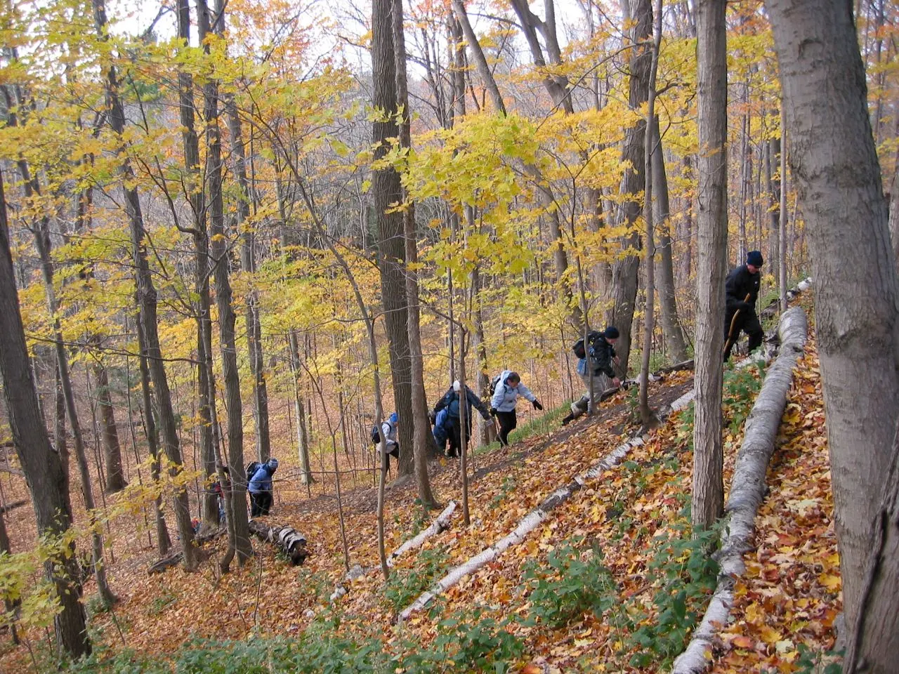
An access point for a hiking route through the West Duffins Creek valley.
- Useful for
- A mapped trail hike
- Before visiting
- Not a promise of a paved, flat or winter-maintained route.
Map searches identify a place and address. They do not verify entrances or step-free routes.
Plan your visit
Useful questions
How long is the Seaton Hiking Trail?
The city lists 12.7 km along West Duffins Creek. A short out-and-back avoids committing to the full route.
What official access point is named?
Whitevale Park on Whitevale Road.
Can I access Seaton Trail from Foreststream Drive?
Yes. The city lists Foreststream Drive east of Whites Road as an access point with parking.
Which creek does Seaton Trail follow?
West Duffins Creek.
Is Seaton Trail flat?
No. The city describes steep bluffs, tricky climbs and changing difficulty. It is not a simple level strolling route.
What is a simple first-visit plan?
Choose one access point and a section you can retrace.
Should I count on a ride at a different exit without arranging it?
No. Set the return plan before starting.
Can I cross a creek to avoid a closure?
No. Stay on the open permitted route.
Is Highway 7 in Green River a Seaton access point?
Yes. It is one of the city’s listed main access points with parking.
Where is the Grand Valley Park access to Seaton Trail?
The city lists Third Concession Road west of Valley Farm Road.